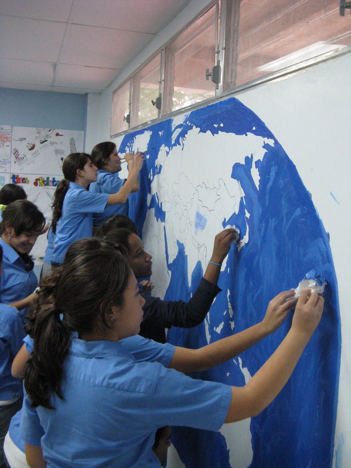
This year in Mural Club, my students worked on a giant wall map for one of the seventh grade social studies classrooms. Dan asked me at the beginning of the year if this might be a possibility and while it took waaaaay longer than I hoped it would, it turned out great in the end!
We transfered the design with a transparency and an overhead projector and then set about painting the bodies of water. Water took about 3 months since no one really wanted to paint the small detailed areas close to the continents, but after many many layers in the largest parts of the oceans we decided to call blue finished.
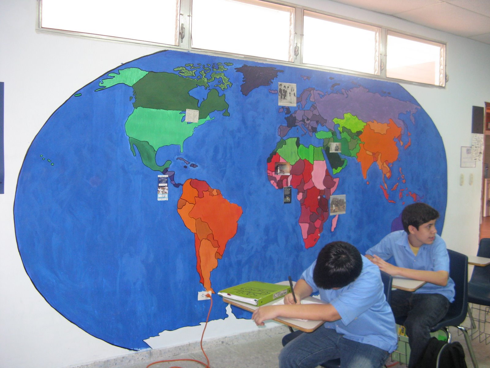
Next we broke the world up into political regions and painted them in different shades of the same color. Rather than get confused by continent boundary lines in Europe, Asia, and the Middle East, it worked best to divide by similar cultures and politics (plus this is the way the seventh grade textbook is broken up).
Some black outlines and several layers of spray laquer make for a beautiful finished map!
Dan is currently using the map to attach interesting articles and pictures to the parts of the world that they relate to. Although I would definitely revamp the way we completed this project (so that I wouldn’t want to pull my hair out 5 months later when it wasn’t done yet), I’m still very proud of the students for the finished product that they created!


Just look at how hard those kids are working! Must have a great teacher in that classroom!
LikeLike